Mt. Hood National Forest
Cooper Spur Hike
Difficulty Level: Moderate
Distance: 7.1 miles round trip
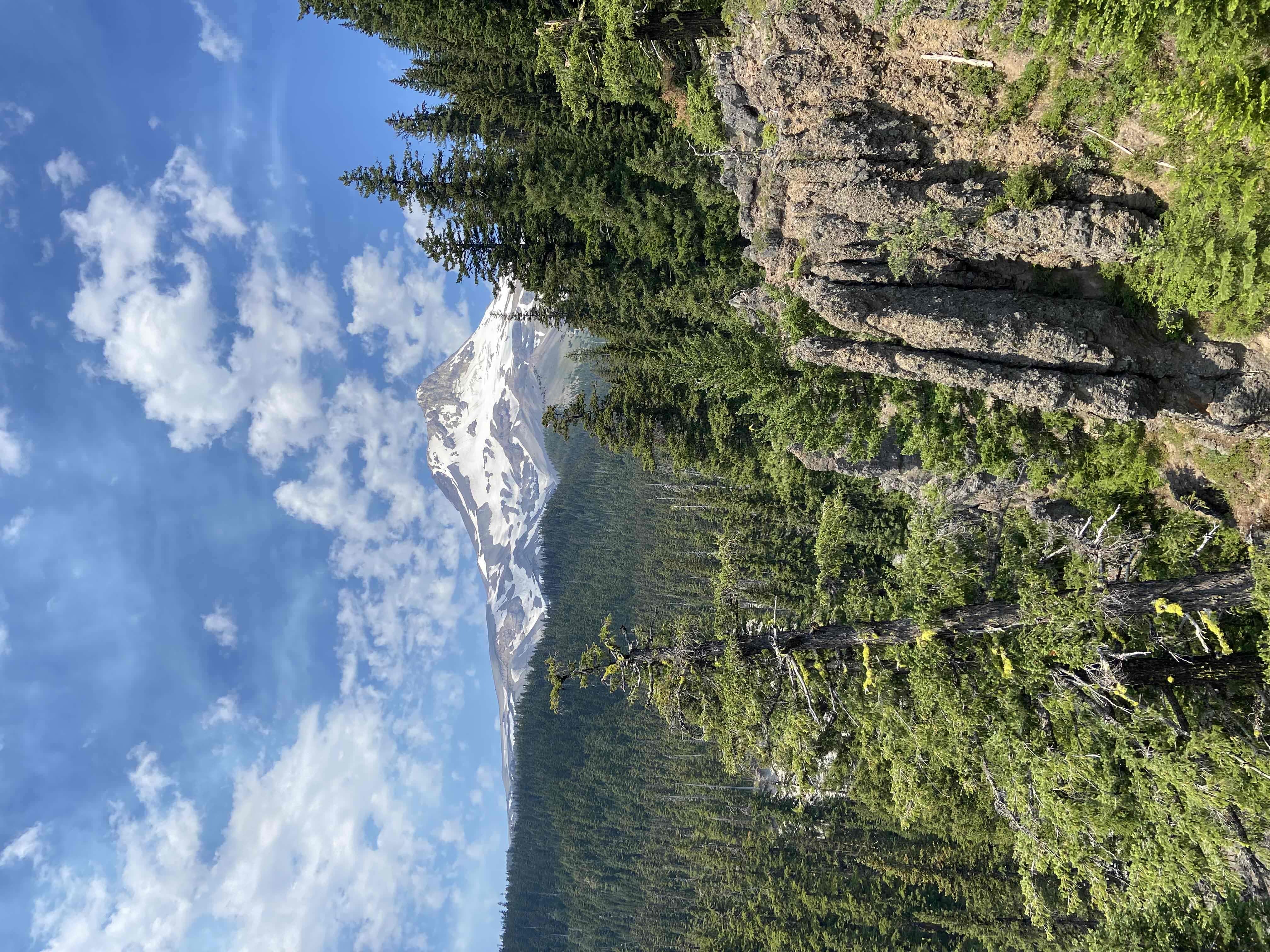
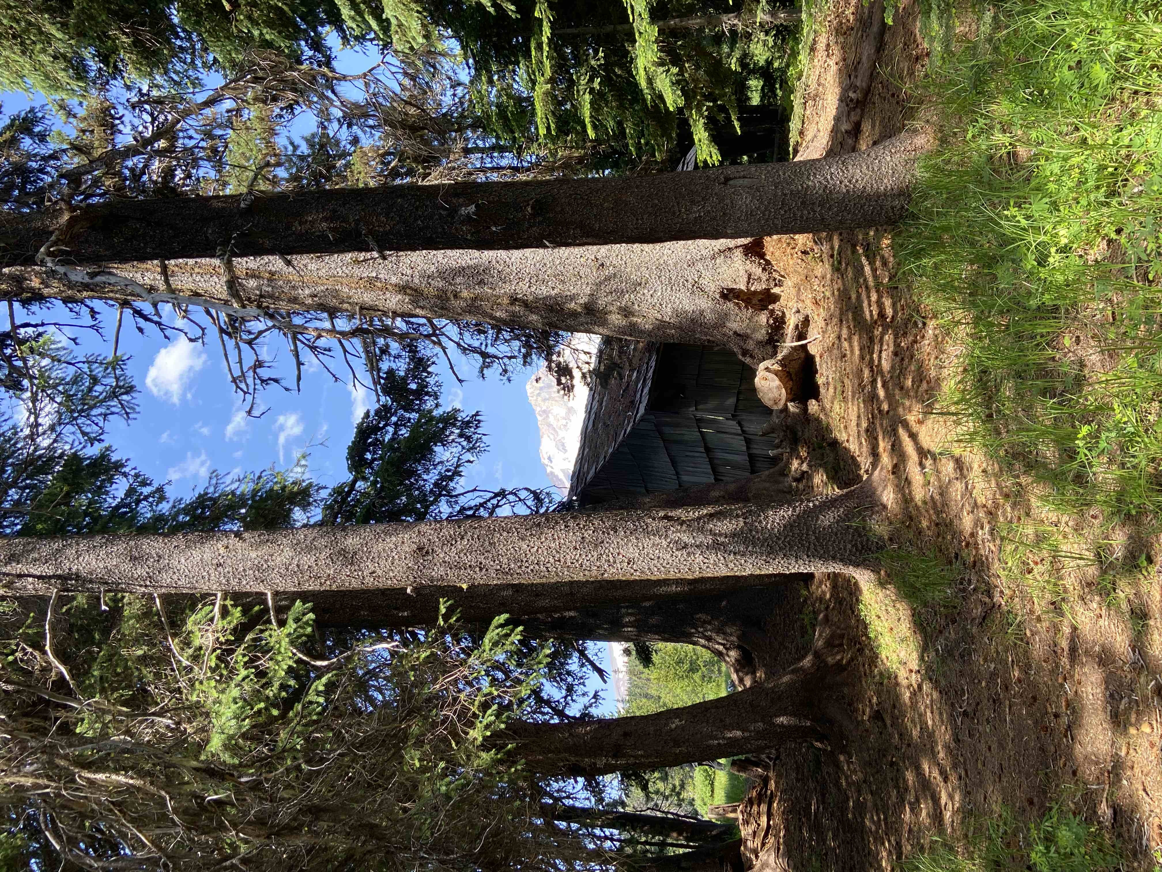
This hike starts at the Cloud Cap Trailhead. Walk through the campground to get to the Timberline Trail. But first, follow the road up to the left of the camp ground area and check out the historic Cloud Cap Inn. Once a high end mountain resort, it is closed to the public but you can walk around the Inn and peak inside. Located at 6000 feet, it was originally built in 1889 but closed in 1942 and is owned by the U.S. Forest Service.
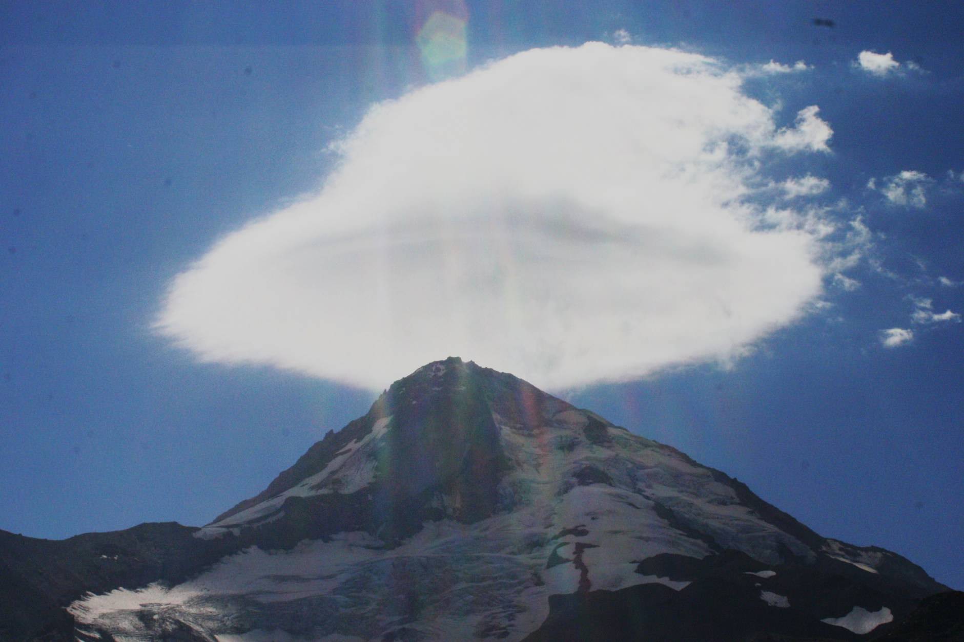
I was able to capture this Harry Potter style "cap cloud" hat hovering above Mt. Hood on our hike up the Timberline Trail.
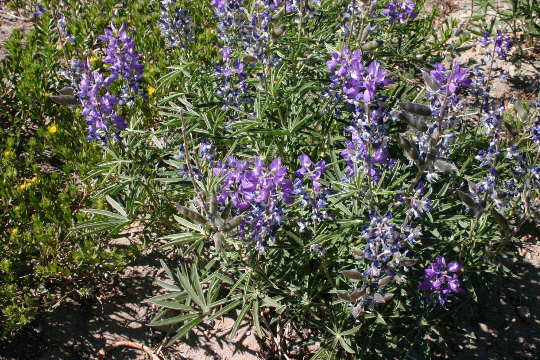
Wildflowers growing along side the Timberline Trail.
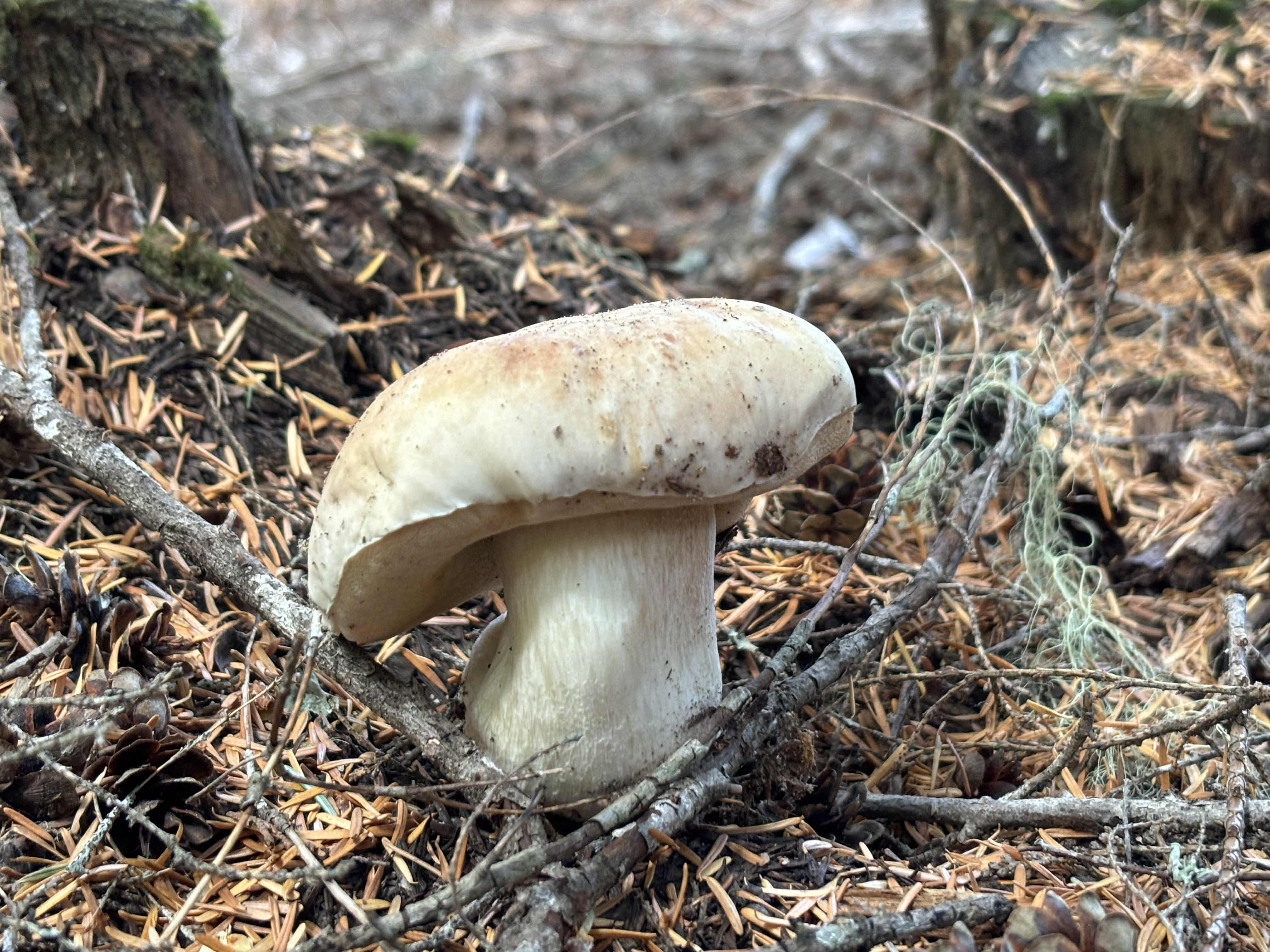
Sometimes the mountain gives back to you in the form of porcini mushrooms.
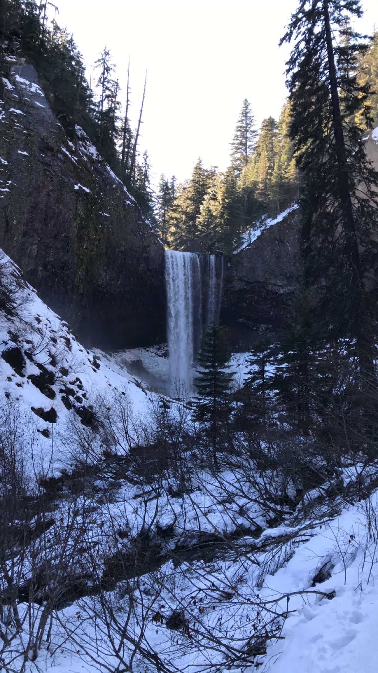
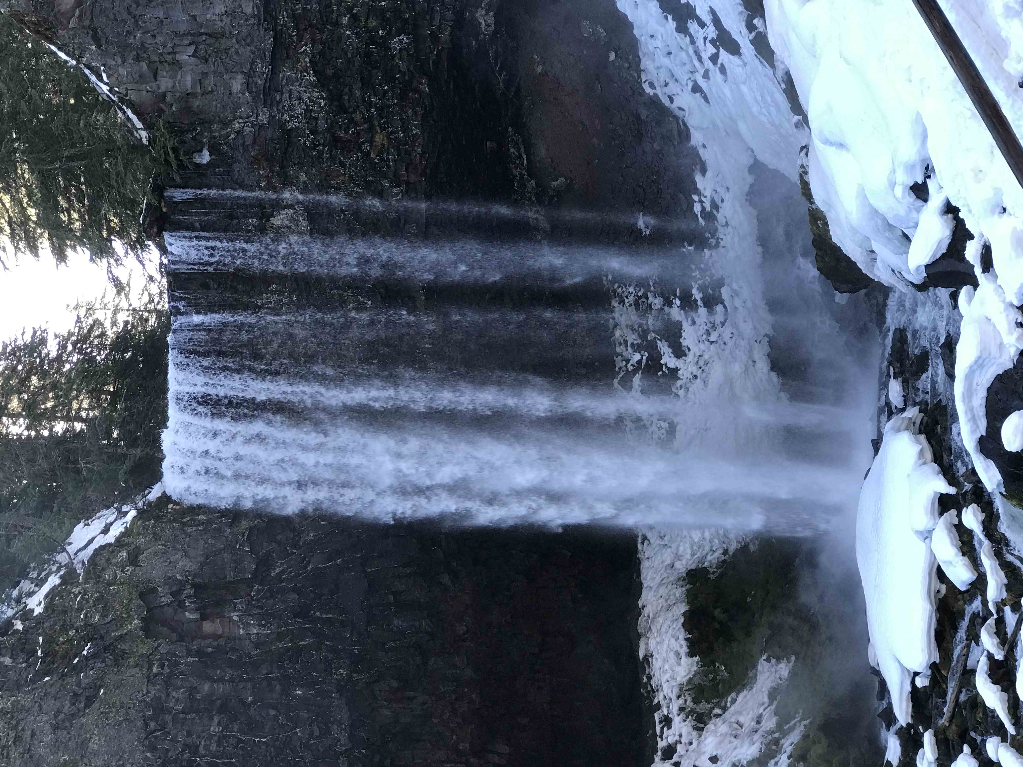
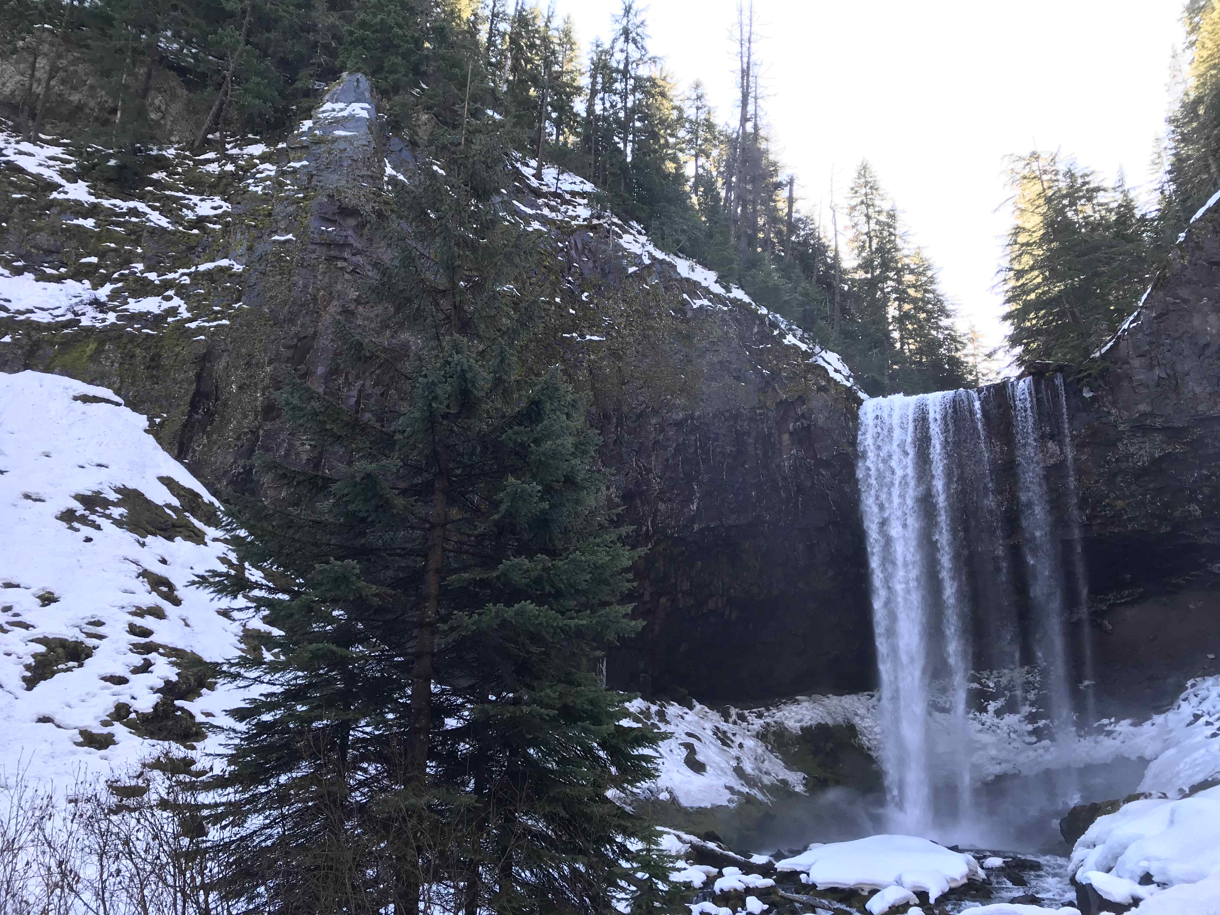
Tamanawas Falls Trail
Difficulty Level: Easy
Distance: 3.4 miles
A short but scenic trail that ends at a stunning 100 feet high waterfall. As you can see below, I did the walk in the wintertime. I recommend traction devices on your shoes and trekking poles as you may encounter lots of snow and slippery surfaces! This trail is on the east side of Mt. Hood so there is easy access from the City of Hood River. Trail starts right off Hwy 35 about 40 miles south of Hood River.
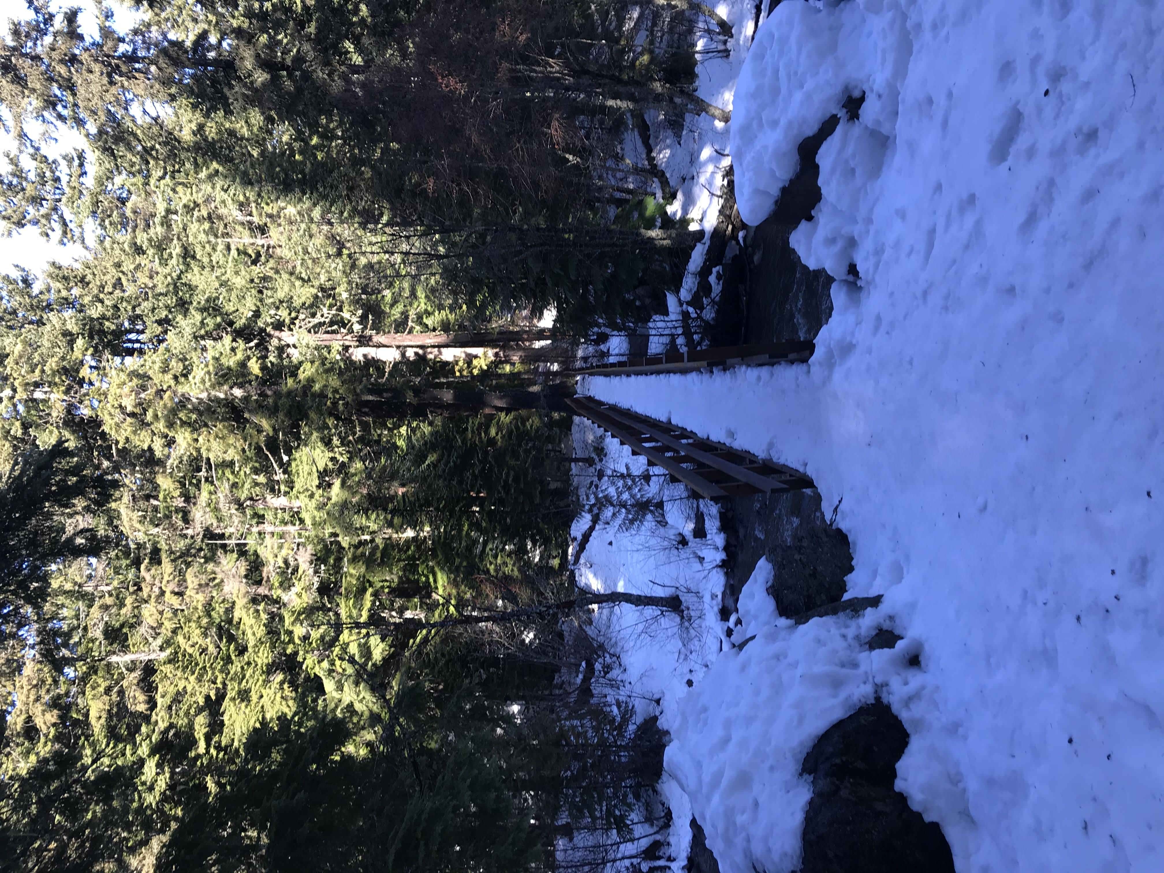
Log bridge crosses you over the East Fork of the Hood River.
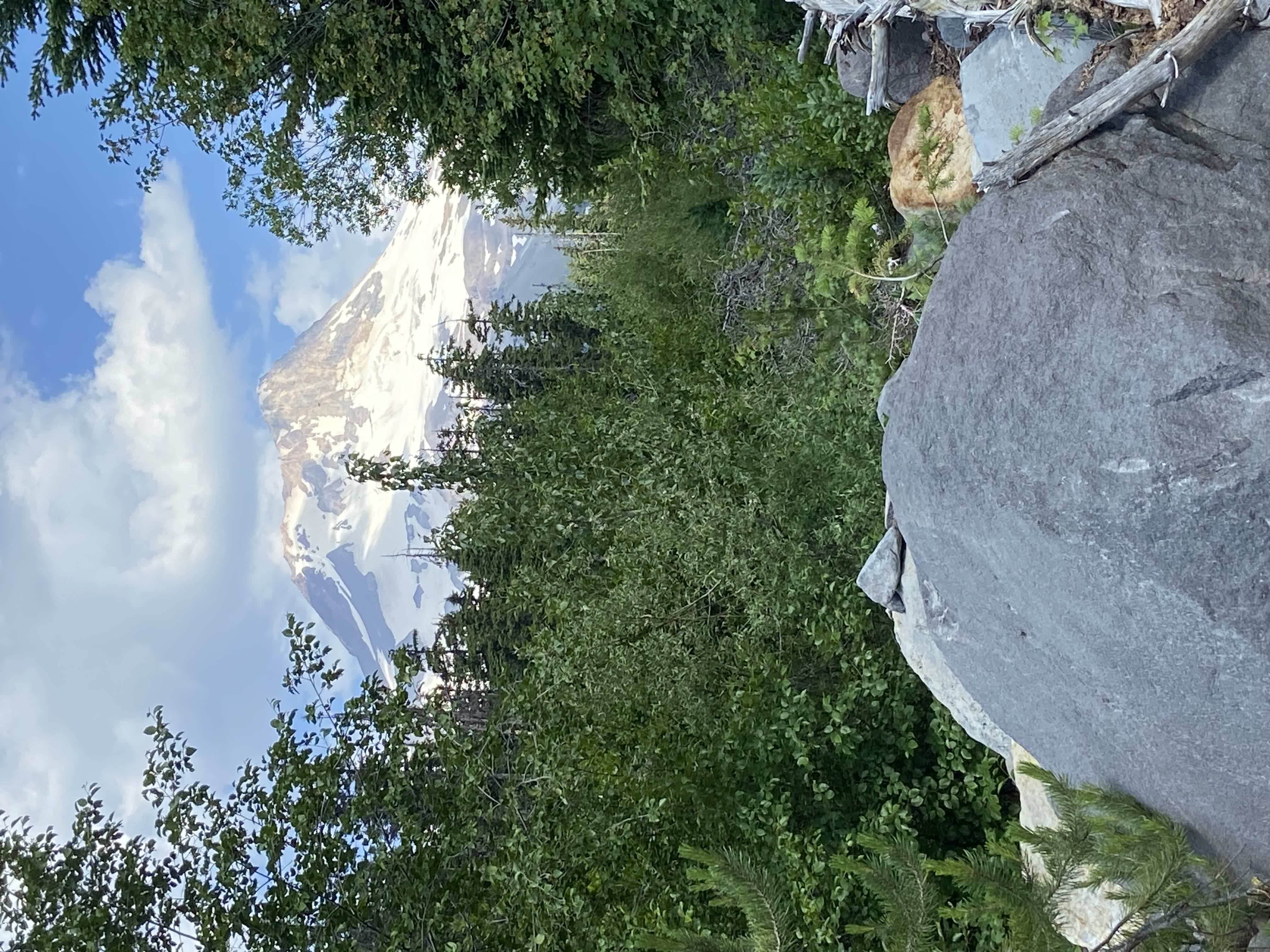
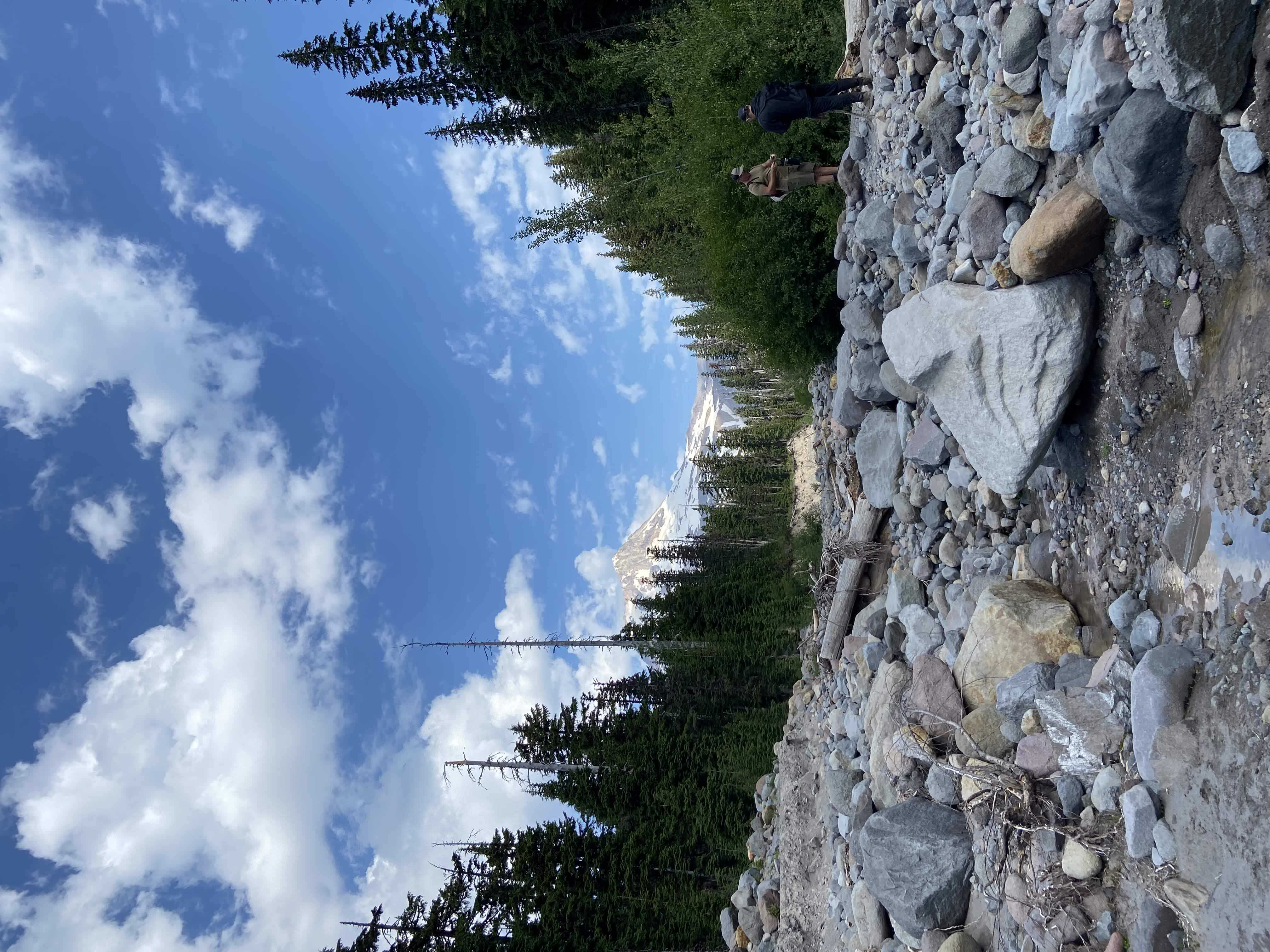
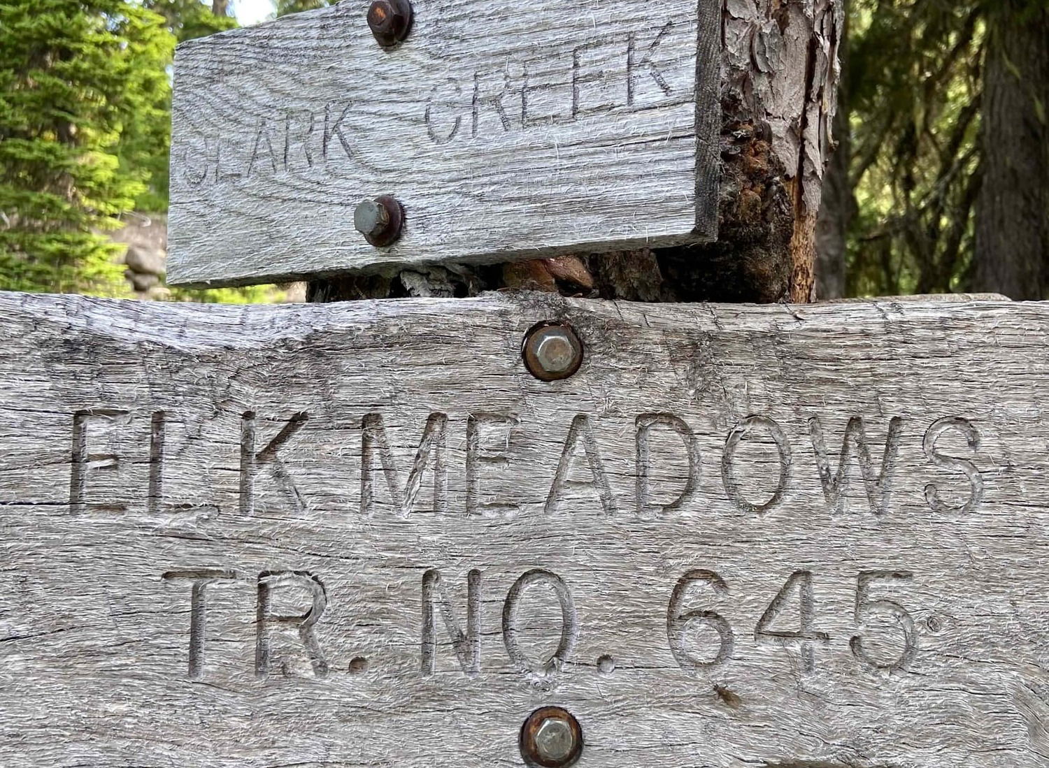
Elk Meadows Trail
Difficulty Level: Moderate
Distance: 5.8 miles
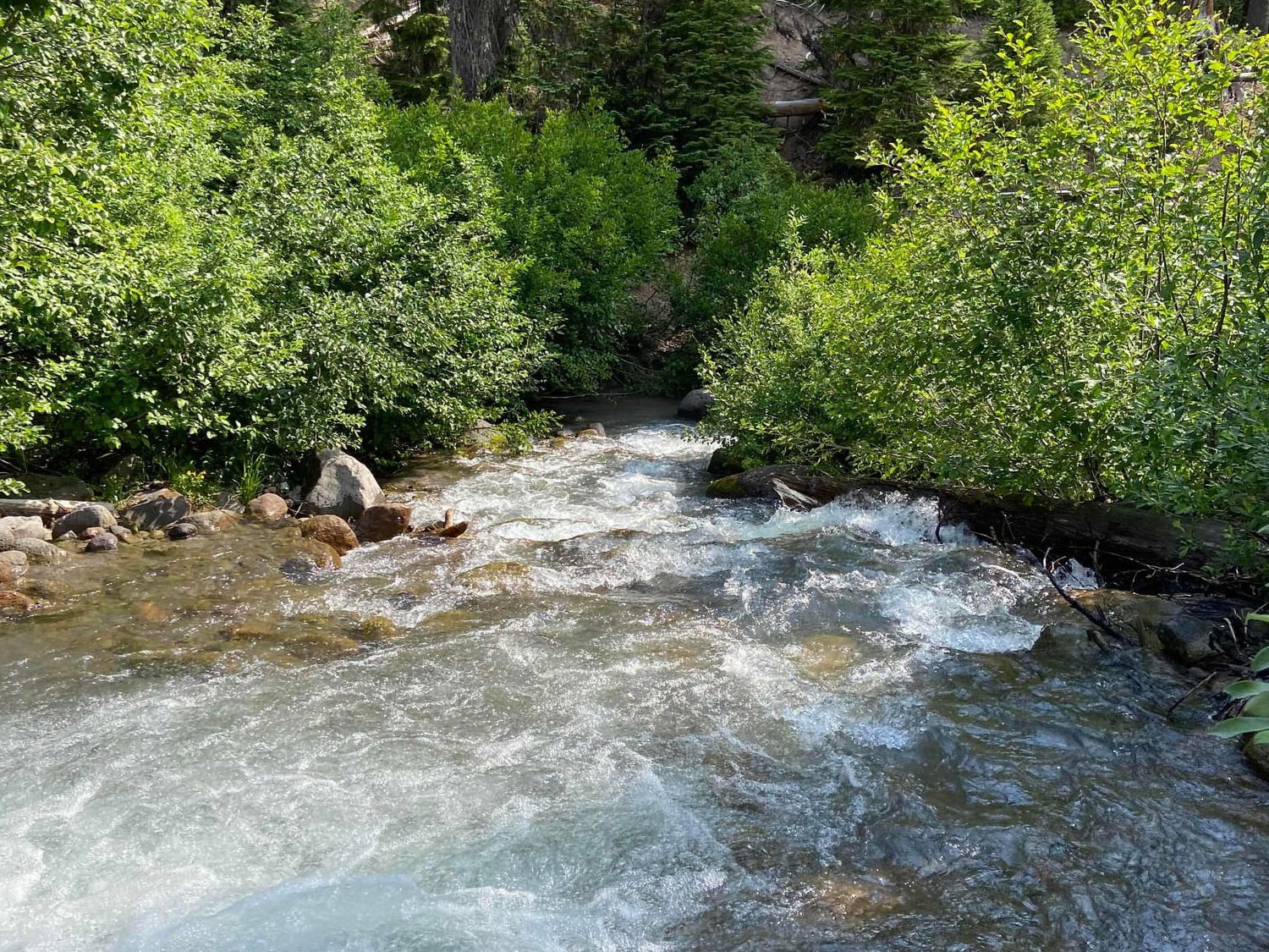
Mountain views and peaceful meadows filled with wildflowers abound along this wonderful trail. From Sandy, travel 31 miles east on Hwy 26 to Hwy 35, then another 16.5 miles to the Polallie Trailhead, near Mt Hood Meadows ski area. To cross Newton Creek, you will have to carefully do some balance beam walking (or scooting) across logs that are hovering over the glacial, fast paced stream. Cross with caution. You'll be rewarded with breathtaking views of Mt. Hood. Along the way there is an old abandoned shelter to stop and have lunch at.
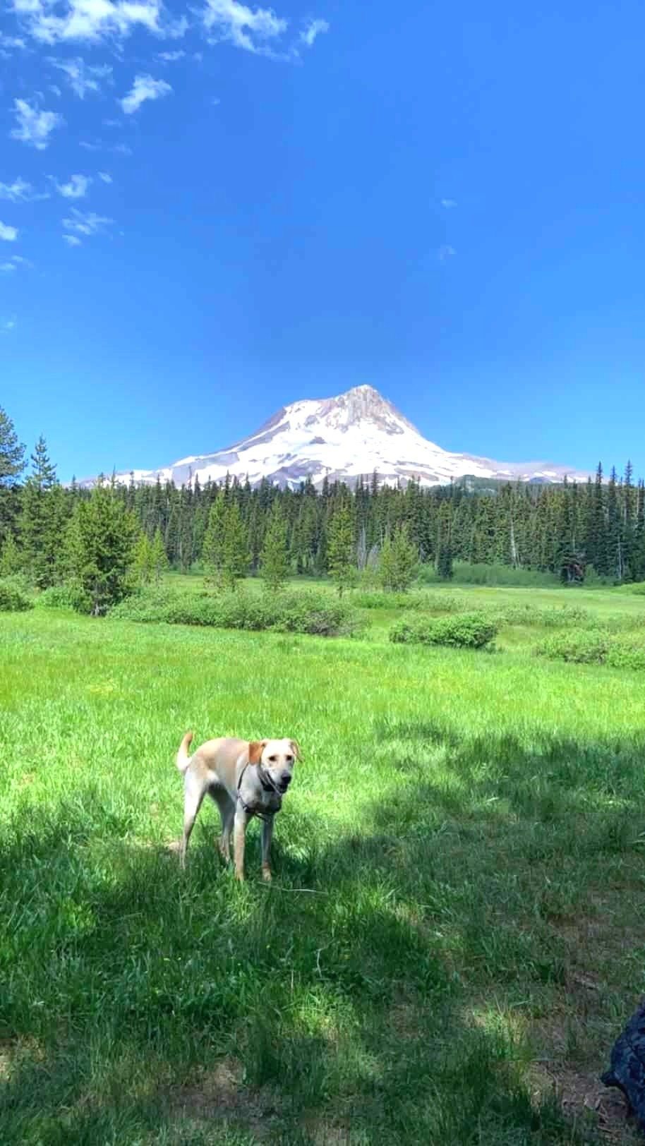
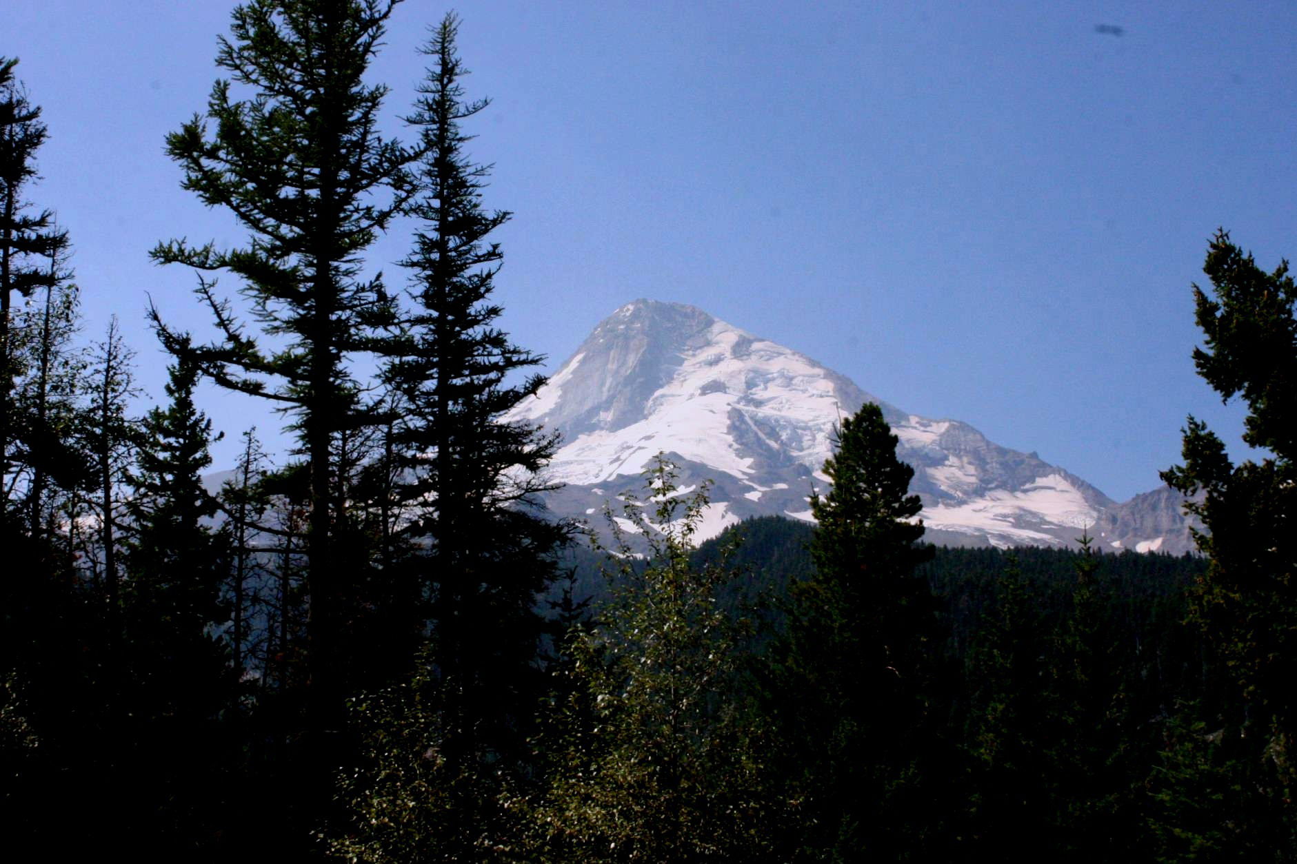
Dottie taking a break with Mt. Hood in the background.