Columbia River Gorge
An Oregon hiking blog wouldn't be complete without including the hikes in the Columbia River Gorge. The "waterfall corridor" includes many stunning waterfall hikes between Troutdale and Cascade Locks.
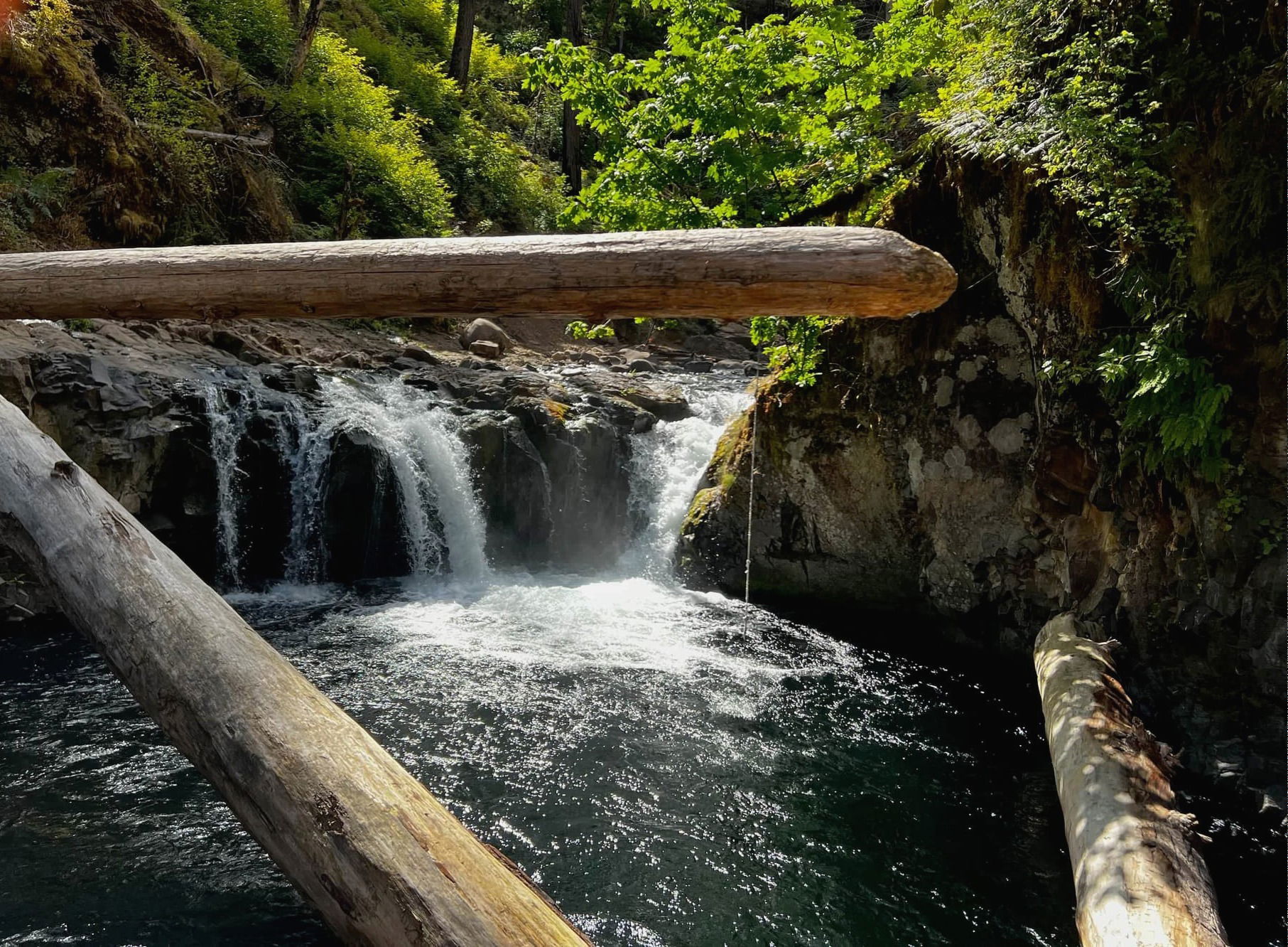
Eagle Creek to Punch Bowl Falls
Difficulty Level: Easy
Distance: 3.8 miles round trip
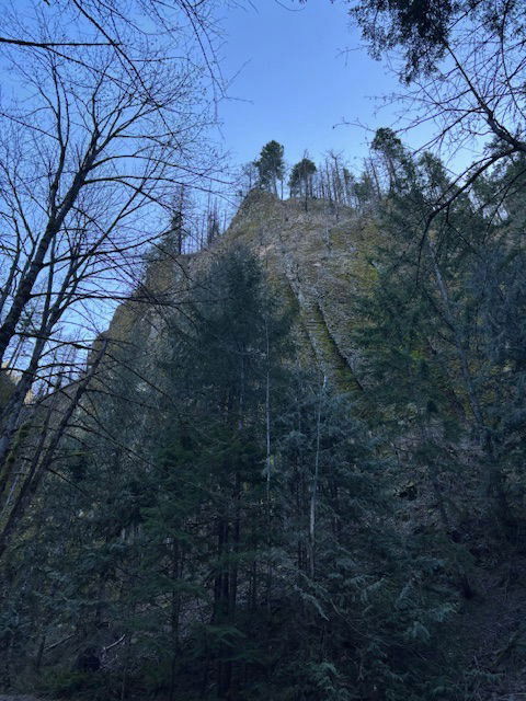
Perfect hike to do on a hot summer day as you can always cool off with a swim when you reach the falls. From I-84, take exit 41/Eagle Creek. Turn right and follow signs to the parking area and trailhead. The trail gains 600 feet in elevation and contains narrow trails along very steep cliffs.
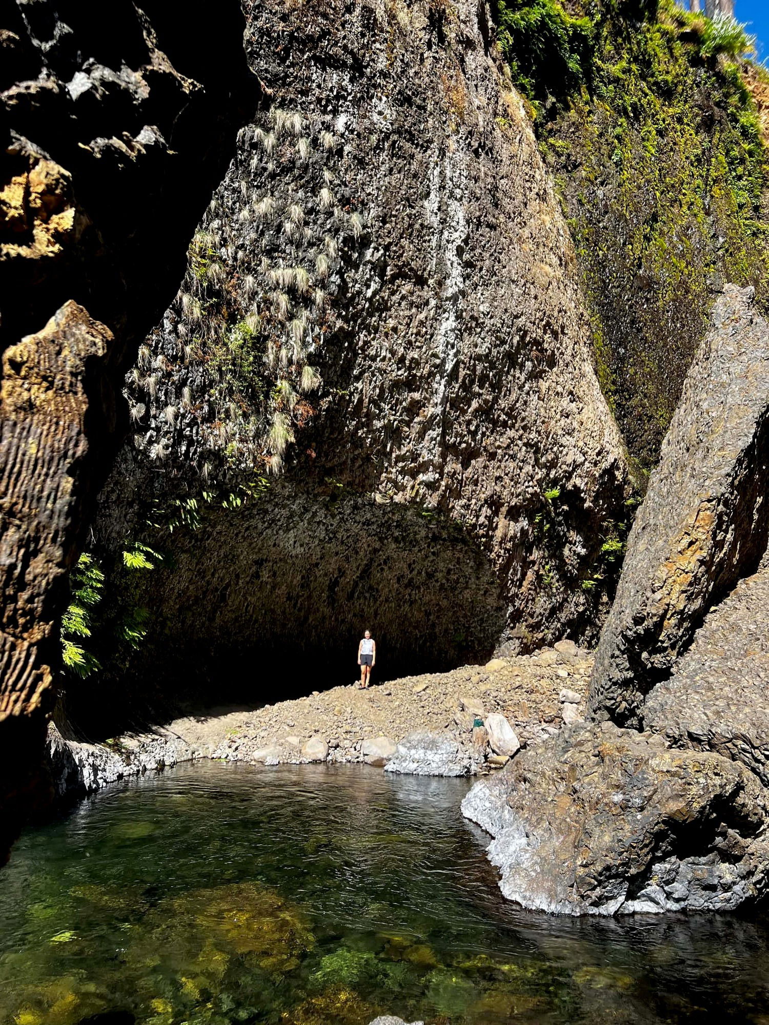
Lower Punch Bowl Falls -- expect to see plenty of sunbathers, hikers, and rock jumpers in August plunging into the cold water to escape warm temps!
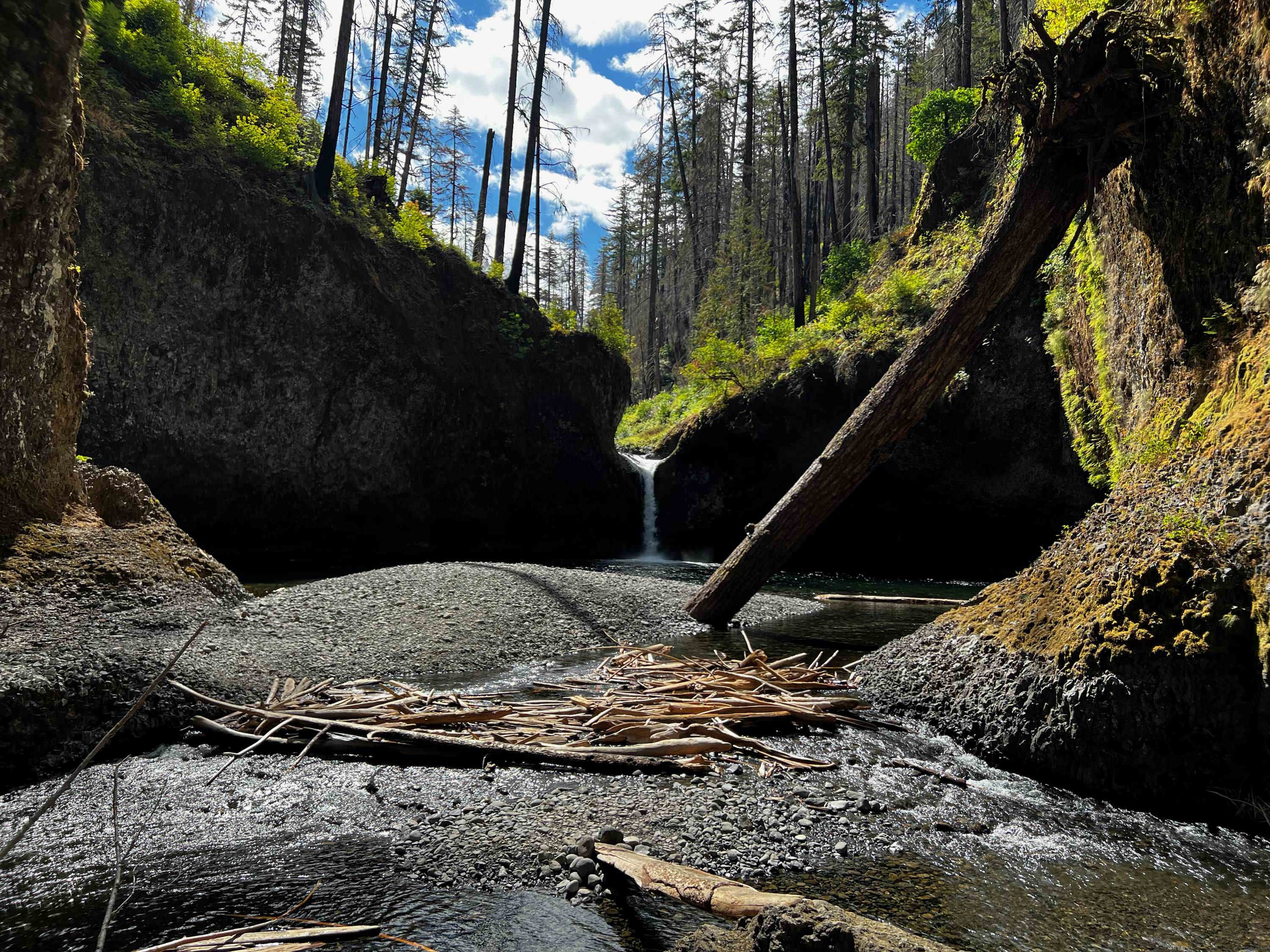
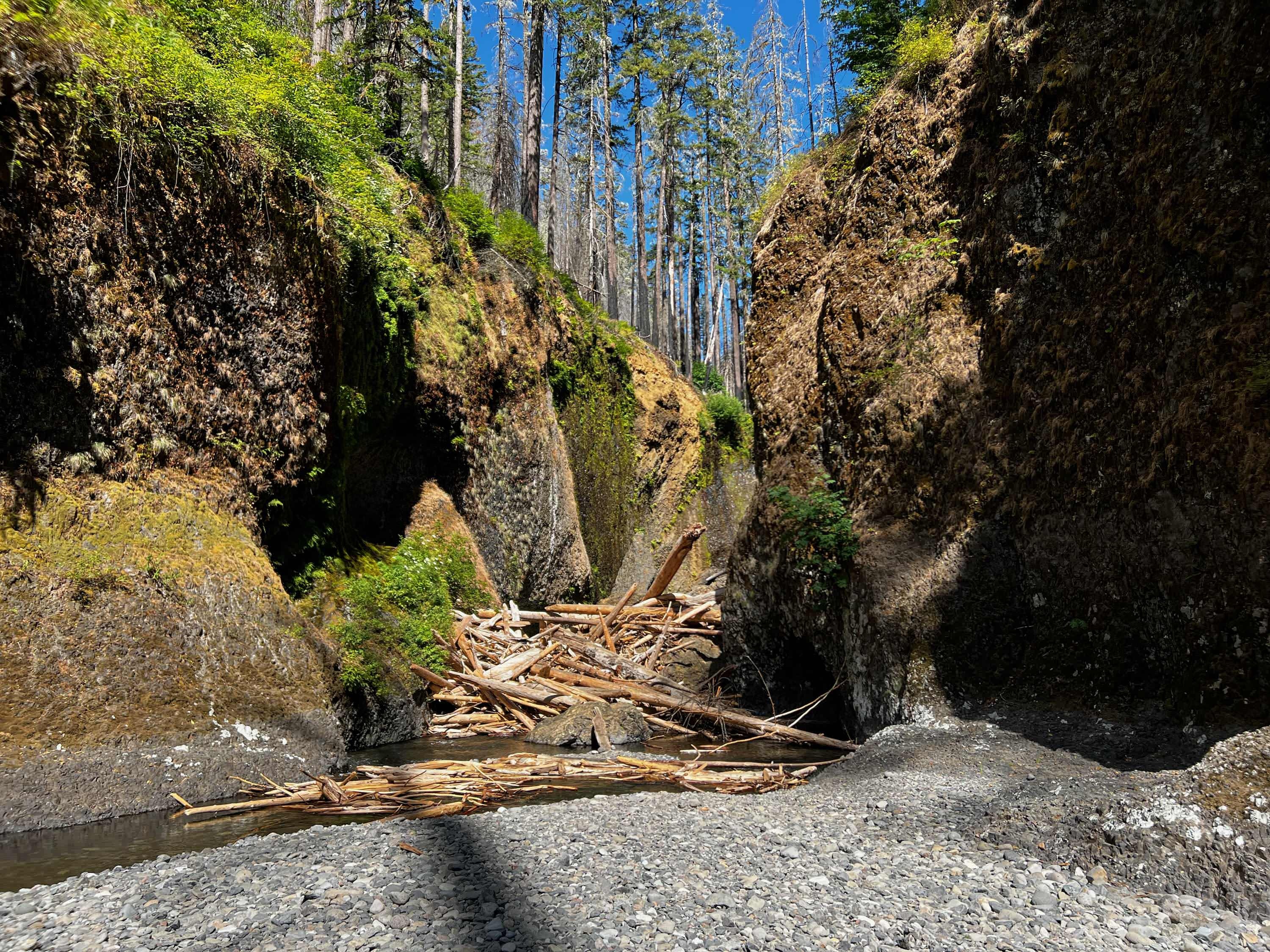
The view of Punch Bowl Falls just over the log jam.
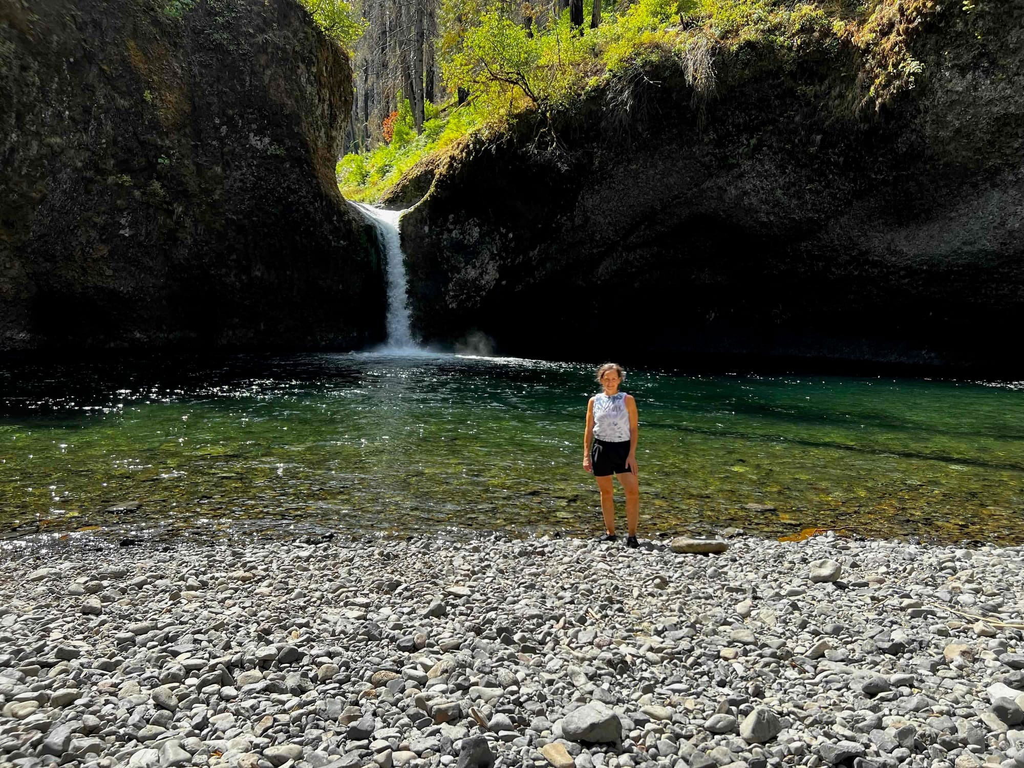
If you feeling adventurous you can climb over the log jam and rock pile to reach Punch Bowl Falls up close and personal. You may even have the deep bowl shaped pool at the base of the falls to yourself.
Angels Rest
Difficulty Level: Moderate
Distance: 4.6 miles round trip
This hike is all about the views. Spectacular views await you at the top of the trail with stunning views of the Columbia River in both east and west directions. The trail head is just off I-84 at exit 28. The trail meanders through forests and includes a pretty steep incline the entire way.

Views from the top
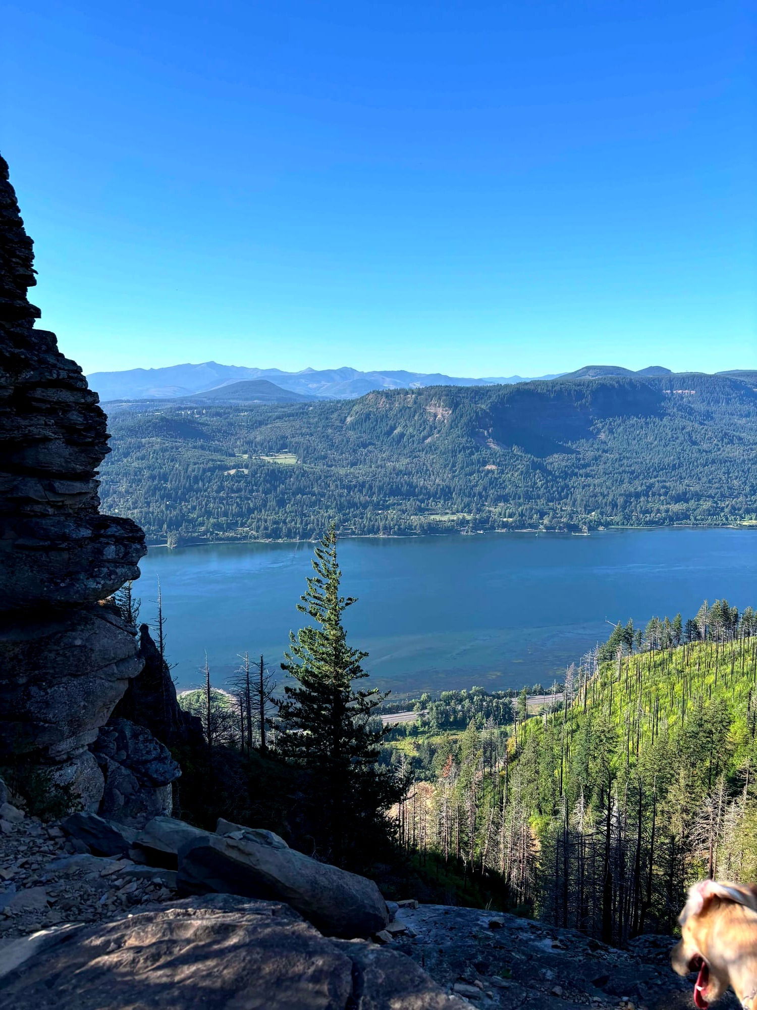
Northern view looking at Washington from just below the summit of Angels Rest.
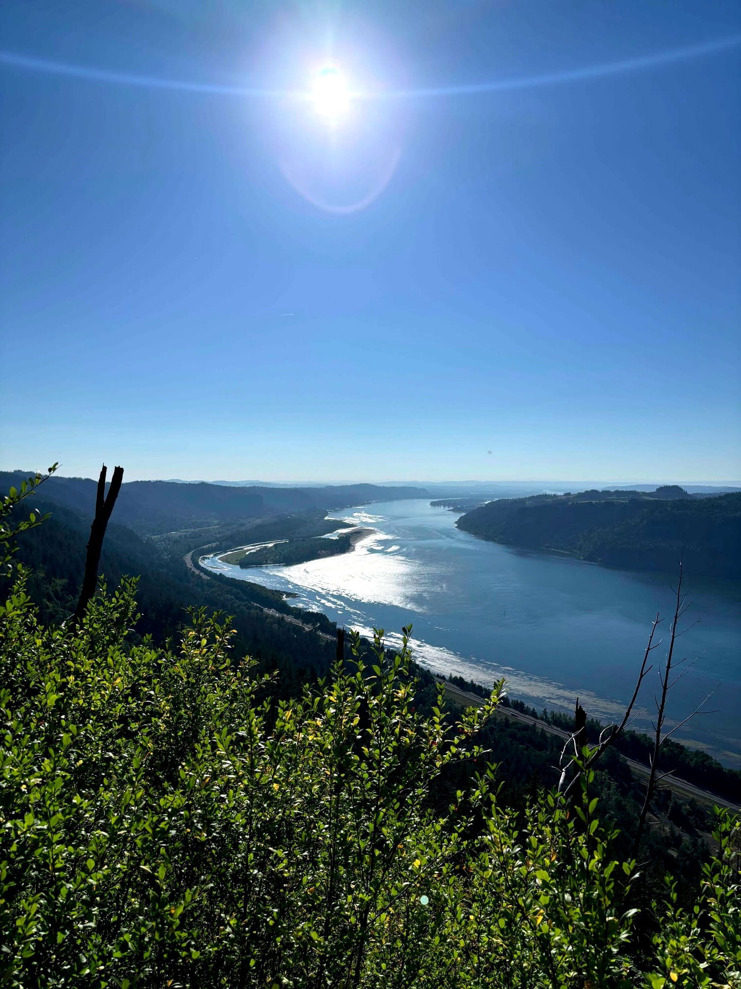
The stunning view to the west from the summit.
Hikers can continue on to Wahkeena Trail/Falls.
Around the one mile mark, you'll come across a footbridge and Coopey Falls to your left.
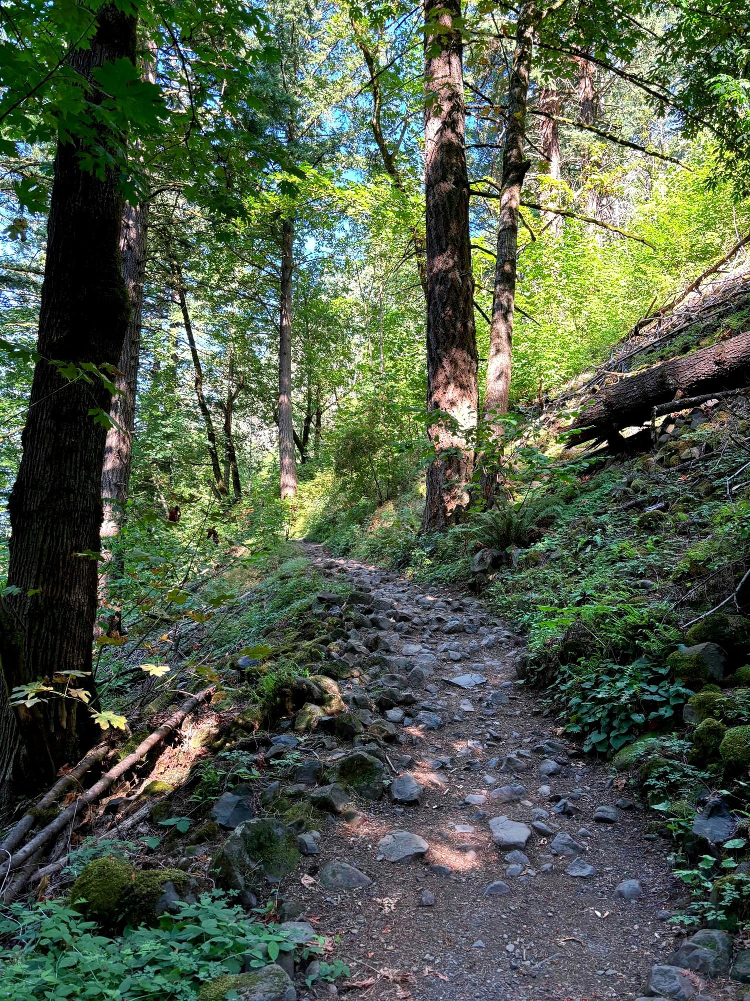
Be sure to wear sturdy hiking shoes as the trail is quite rocky at times.
Dry Creek Falls
Difficulty Level: Moderate
Distance: 4.4 miles round trip
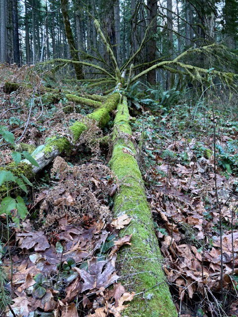
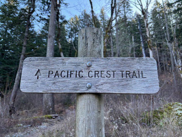
Short on time, this is a fun little woodsy hike located right out of Cascade Locks off of I-84. The 74 foot waterfall awaits you at the end of the hike. You can park at the Bridge of the Gods Trailhead, and follow the Pacific Crest Trail signs that lead under the freeway and up hill to Moody Street. The entrance to the trail is on the left side of the road and marked by the following sign. Note-- it does not say "Dry Creek Falls", which is a little confusing. The trail passes through mossy covered logs and plenty of Douglas Firs and big leaf maples. Keep following the Pacific Crest Trail signage.
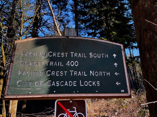
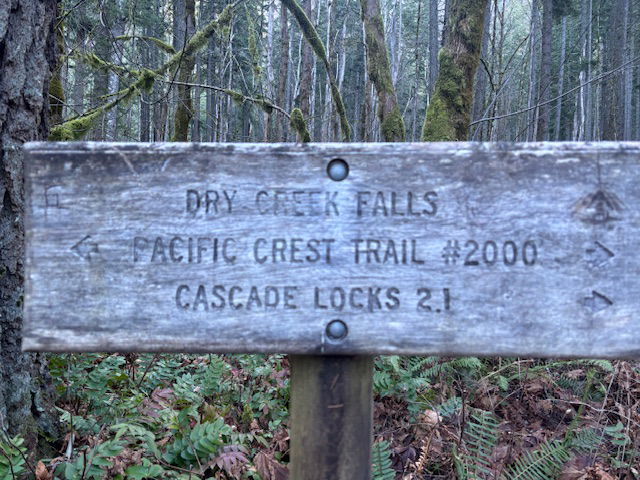
After a mile, you'll want to make a right turn at the Pacific Crest Trail sign and then straight ahead. Do not go back towards the power lines. Again, there will be no signs for Dry Creek trail.
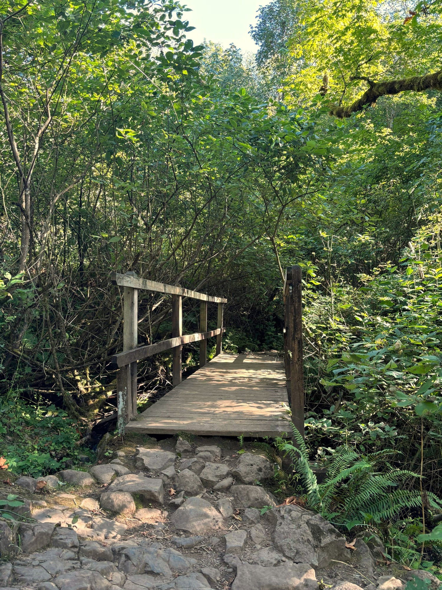
When you approach the wooden footbridge, you will want to turn right and hike up hill. (Or stop and cross the bridge and check out Dry Creek for some Instagram pics).
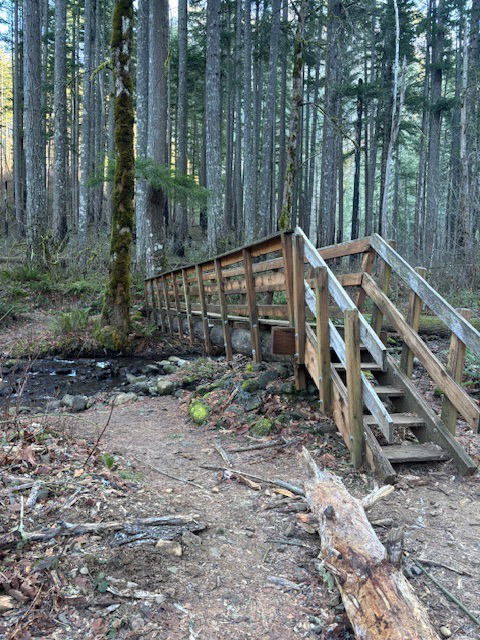
Wooden footbridge where the Pacific Crest Trail crosses Dry creek.
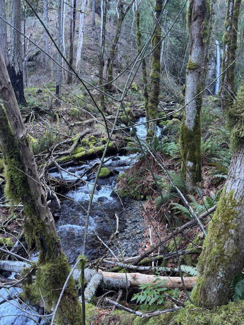
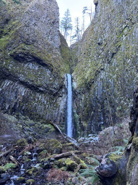
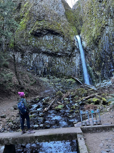
At the base of the falls are remains of a water diversion works from the 1930s.